Within your Project, you can export your data into several different filetypes: PDF, XLS, CSV, KML, GeoJSON, and Shapefile.
Many users will use the Unearth platform as the central place where they store, report, and save data. Your sites allow you to seamlessly keep track of current, past and future projects, but you may also want to export data to use in another system or keep for your own recording purposes. Within each of your sites, you can export all or some of your data into a number of different formats (XLS, CSV, GeoJSON, PDF, Shapefile, or KML).
To only export certain assets, you can apply filters to your site. All the data that is in your Table View at the time of export will be in the exported file.
Here's how to export your data:
- Click on the "Export" arrow on the left side of your map.
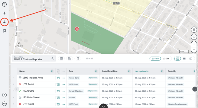
- A window will open where you can choose what type of file you want to export your data as.
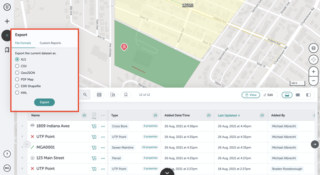
- When you click "Export," the file will load and then will appear at the bottom of your browser or wherever you find your Downloads folder.
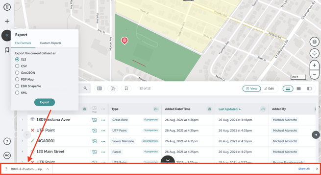 Exporting an XLS, CSV, GeoJSON, ESRI Shapefile, or KML will produce a .zip file you can open to find the data file.
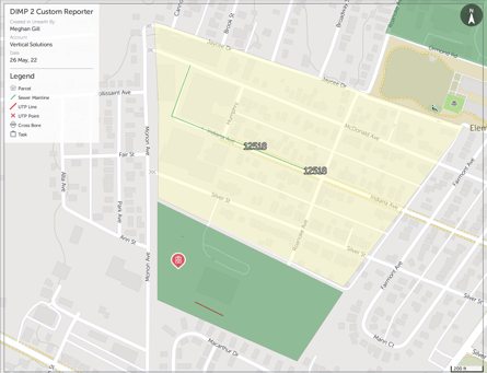
 - For a PDF, users can customize the paper size, orientation, as well as where the legend will be placed. Click export to download a copy of the PDF.
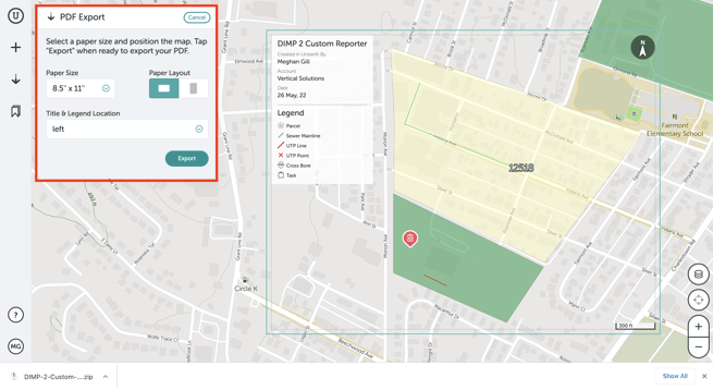
- When the PDF downloads, you will see your site area and a legend defining each asset within the image exported.
If you run into any issues or have any questions, please reach out to us at support@unearthlabs.com.
Revised October 2022
